
Camp Creek, Oregon
Camp Creek is the corridor’s pastoral side pocket — barn-and-pasture country folded into the hills between the McKenzie and Mohawk valleys.
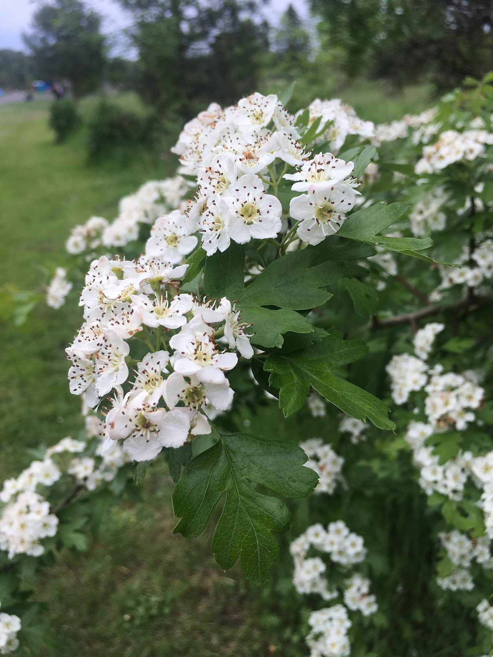
Camp Creek Road leaves the river near Cedar Flat and climbs into a different postcard: a pastoral side valley of pastures, barns, and timbered ridgelines, running the quiet miles between the McKenzie corridor and Mohawk Valley.
This is small-farm country close to town — horse setups, hay ground, family compounds, and homesteads that have fed generations. The river is minutes away, Springfield barely farther, yet the valley keeps a horse-and-gravel hush the highway never hears.
Buyers wanting land-first properties — where the acreage is the point and the house serves it — find Camp Creek delivers the most pasture per commute-minute on this side of the county.
Camp Creek at a glance
- Pastoral side valley connecting the McKenzie corridor toward Mohawk Valley
- Small farms, horse properties, and homestead acreage
- Minutes from Cedar Flat/Walterville and Springfield services
- Gravel-quiet roads and working-land character
Camp Creek questions, answered
Where does Camp Creek Road run?
From the lower McKenzie corridor near Cedar Flat, through its namesake pastoral valley toward Mohawk Valley — a quiet rural byway minutes from Springfield.
What property types define Camp Creek?
Small farms and acreage: horse properties, hay ground, homesteads, and rural homes with serious outbuildings. Land capability drives value here.
What should I verify on a Camp Creek farm property?
Water (wells, rights, stock water), fencing, soils and drainage, outbuilding condition, and zoning for your intended use — plus the standard rural systems checklist.
How close is Camp Creek to services?
Typically ten to twenty minutes to Springfield/Thurston services depending on how far up the valley you are — remarkably close for genuine farm country.