
Walterville, Oregon
Walterville is the lower valley’s hub — a real community with the river out back and town ten minutes down the road.
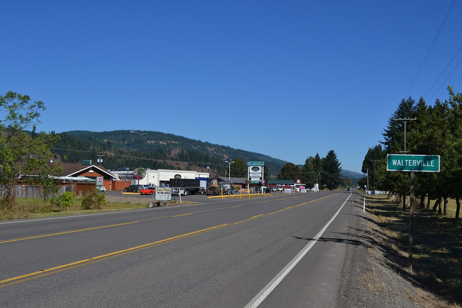
Walterville is where the corridor becomes a community. The lower valley's little hub has its own store, its own school-and-grange rhythm of country life, and some of the most livable river country anywhere on the McKenzie: flat water, big cottonwoods, and pastures running toward the hills.
The river defines the place. Hendricks Bridge Park puts a launch and day-use water right at the neighborhood's doorstep, and the historic Walterville canal — part of the valley's century-old hydropower story — threads through the landscape as a reminder that people have been putting this river to work for generations.
Ten minutes from Thurston, Walterville asks almost no sacrifice for its quiet. That balance keeps demand steady for everything from cottages to full farm setups.
Walterville at a glance
- The lower valley’s community hub, about ten minutes east of Springfield
- Hendricks Bridge Park: boat launch and day-use on the lower McKenzie
- Historic Walterville canal, part of the valley’s early hydropower era
- Mix of riverfront, pasture, and small-acreage properties
Walterville questions, answered
How far is Walterville from Springfield?
About ten minutes east on Highway 126 from the Thurston district — close enough for easy commutes and errands, far enough that the valley has fully taken over the scenery.
Where do people access the river in Walterville?
Hendricks Bridge Park is the local landmark access — a launch and day-use park on the lower McKenzie. Many properties also enjoy private frontage; access rights vary by parcel, so verify specifics.
What is the Walterville canal?
A historic hydropower canal that has been part of the lower valley for over a century. Some properties border it; ownership, easements, and setback details vary, so we confirm them during due diligence.
Does Walterville flood?
Parts of the lower valley floor carry mapped flood zones, and many properties sit safely outside them. Every river-country purchase here should start with the FEMA map, an insurance quote, and the property’s elevation story.